
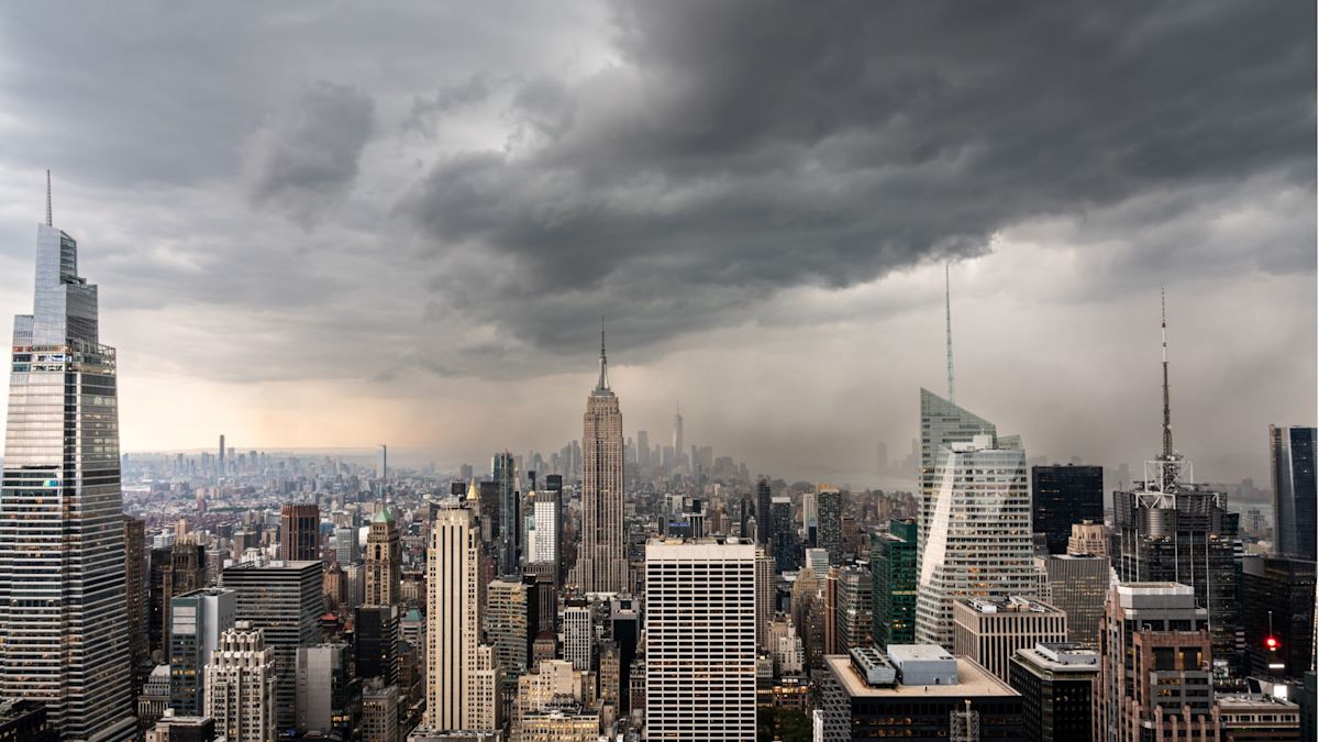
New York City authorities mounted a comprehensive emergency response overnight as an encroaching band of potent thunderstorms heightened the threat of flash flooding across the metropolitan region. The sudden atmospheric deterioration prompted aviation regulators to halt departures and arrivals across major regional transit hubs while local officials scrambled to safeguard vulnerable communities.
A regional Flood Watch remained in effect through Sunday midday, with meteorologists pinpointing the highest operational danger window between 5:00 a.m. and 10:00 a.m. During this critical morning interval, intense convective storm activity was projected to track directly across the municipal area, threatening to inundate streets and sub-surface infrastructure before most residents had begun their daily routines.
Forecast models issued by the National Weather Service indicated that widespread rainfall accumulations would range from 1.5 to 3 inches across the five boroughs. Meteorologists noted that the heaviest aggregate amounts were poised to concentrate over portions of eastern Brooklyn and Queens, though localized microclimates and storm training could push total accumulations even higher in isolated pockets.
Of greater concern to municipal engineers was the sheer intensity of the anticipated precipitation rates. Forecasters warned that downpours could unleash between 1 and 2 inches of rain per hour, with the most severe individual thunderstorm cells capable of dumping up to 2.5 inches within a single sixty-minute span—a rate that substantially exceeds the absorption and drainage capacities of standard urban storm sewer networks.
The rapid onset of the severe weather system dealt an immediate blow to regional transit networks, triggering extensive ground stops at John F. Kennedy International Airport, LaGuardia Airport, and Newark Liberty International Airport. Aviation authorities implemented the operational pauses to manage runway hazards and navigate the turbulent airspace enveloping the tri-state area.
In response to the growing environmental threat, municipal officials established a network of 51 emergency overnight shelters across the city on Saturday evening. These facilities were opened to provide immediate, dry sanctuary for individuals lacking secure shelter, with city guidelines explicitly allowing residents to bring service animals and household pets into the designated evacuation spaces.
The primary focus of the emergency housing initiative centered on residents occupying below-grade living spaces and basement apartments. Such dwellings historically carry an amplified risk of sudden inundation during severe weather events, leaving occupants with limited warning and restricted evacuation routes when runoff begins to accumulate rapidly along street curbs.
Municipal preparations for the weather event began well in advance of the weekend deluge. NYC Emergency Management formally activated the city’s Flash Flood Emergency Plan on Thursday, mobilizing multi-agency protocols that directed infrastructure crews to clear debris from arterial catch basins and pre-position vital emergency equipment across strategically vulnerable locations.
Mayor Zohran Mamdani addressed the city's overnight readiness posture, highlighting that municipal teams would remain mobilized throughout the darkest hours. "Our crews are clearing catch basins, agencies are preparing and emergency teams will be working through the night while most of the city sleeps," Mamdani stated, urging those in below-grade residences to establish proactive exit strategies and be prepared to seek higher elevation if floodwaters begin to rise.
The mayor also issued practical guidance for Sunday morning commuters, advising travelers to budget substantial additional commuting time and strictly avoid driving through submerged roadways. Mamdani further encouraged New Yorkers to look out for vulnerable neighbors and register for real-time safety notifications by texting NOTIFYNYC to 692-692, noting that simple precautionary actions could prevent severe harm.
NYC Emergency Management Commissioner Christina Farrell reinforced the administration's urgent warnings, drawing attention to how swiftly streetscapes can transform under torrential conditions. "Heavy rain can overwhelm streets and drainage systems in minutes, and the most intense rain is expected when many New Yorkers will be asleep," Farrell explained, cautioning that storms delivering 2 to 2.5 inches per hour require immediate preemptive planning rather than delayed reaction.
Infrastructure specialists underscored that locations with historically poor drainage, highway underpasses, and naturally low-lying terrain faced the steepest danger of flash flooding. In these sensitive corridors, rapid water accumulation often creates deep pooling and road ponding that can quickly disable passenger vehicles and compromise subterranean utility conduits.
Public safety agencies reiterated that motorists and pedestrians alike must respect environmental hazards by avoiding waterlogged avenues and flooded intersections. Because depth and velocity can be deceptive on urban roadways, attempting to traverse submerged corridors presents life-threatening entrapment hazards to drivers and first responders alike.
Environmental conditions were forecast to gradually stabilize by Sunday afternoon as the convective weather disturbance tracks eastward away from the metropolitan perimeter. Until the storm system fully clears the coastline, emergency officials continue to urge all residents to keep mobile devices charged, closely monitor local weather bulletins, check on at-risk family members, and immediately dial 911 in the event of an emergency.


(0)