
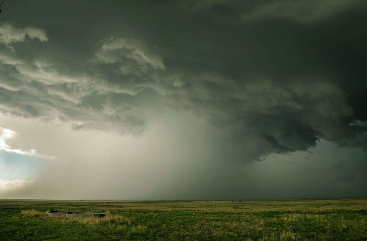
Texas is facing a distinct weather divide this week as an evolving meteorological pattern prepares to bring welcome relief and active weather to the northern reaches of the state, even as oppressive, near-record heat holds firm across central and southern areas. According to official forecasts, an approaching cold front is positioned to deliver unsettled conditions and markedly lower temperatures to the Panhandle region, contrasting sharply with the severe thermal conditions dominating elsewhere.
Forecasters with the National Weather Service have indicated that the incoming frontal system will trigger scattered to widespread thunderstorm activity across the combined Texas and Oklahoma Panhandles. This approaching boundary marks a significant turning point in the regional atmosphere, offering an eventual reprieve from a prolonged period of intense and unseasonably high temperatures.
Before the cooler air mass arrives, the Panhandle region is slated to open the workweek under uncomfortably hot conditions. Afternoon temperatures across the plains are projected to climb between 90 and 100 degrees, maintaining readings that sit well above normal seasonal averages during the first few days of the week.
As the week progresses, however, the cold front is expected to begin its gradual advance through the region, steadily weakening the grip of the late-summer heat. The National Weather Service notes that this atmospheric transition will take place slowly, with daytime highs systematically descending toward the 80-degree mark across the vast majority of the combined Panhandle communities.
Meteorologists report that the boundary itself will serve as an active focal point for precipitation and unsettled weather. Along and behind the advancing cold front, the National Weather Service anticipates a medium to high probability of developing showers and thunderstorms across the northern portion of the state.
Precipitation prospects are expected to remain favorable for various sections of the combined Panhandles on each day throughout the week. The continuous daily threat of rain is poised to keep cloud cover in place, significantly helping to suppress intense afternoon solar heating throughout the northern plains.
Addressing the broader precipitation outlook, the National Weather Service clarified that the published percentages represent regional probabilities spanning both the Texas and Oklahoma Panhandles. Meteorologists emphasized that while every specific locality may not observe rainfall on a daily basis, overall chances remain favorable for the combined Panhandle area as a whole.
By the end of the workweek and heading into the weekend, the persistent frontal boundary and lingering rain chances will solidify a noticeable cooldown. Forecast models indicate that high temperatures on Friday and Saturday will settle widely in the low to mid-80s across the combined Panhandle area.
For residents across the northern plains, the projected weekend readings represent a long-awaited break from extreme weather. The widespread low to mid-80s will provide meaningful relief following several consecutive months characterized by daily temperatures that consistently remained well above normal.
In stark contrast to the cooling trend anticipated in the Panhandle, Central Texas and the San Antonio region will experience no immediate relief from the sweltering late-summer climate. Forecasters state that near-record heat is projected to hold its ground, maintaining harsh and oppressive conditions throughout the week and persisting into next week.
Across Central Texas communities, afternoon maximum temperatures are forecast to climb into the upper 90s, with many locations routinely reaching triple-digit territory. When factored together with high levels of atmospheric humidity, heat index values are expected to surge as high as around 110 degrees, creating potentially hazardous conditions for outdoor activities.
Precipitation will also remain scarce across the southern half of the state compared to the north. While the Panhandle prepares for repeated rounds of showers, rainfall chances across the Texas coastal plains are forecast to remain quite low throughout the early portion of the week.
Despite the dry and stifling conditions expected across Central Texas and the coastal areas early on, forecasters note that some slight changes could emerge later in the week. The National Weather Service stated that precipitation chances may begin to increase over a broader number of areas by Thursday and Friday.
As the weather system unfolds over the coming days, forecasters will continue monitoring the dual nature of conditions across Texas, balancing the arrival of refreshing, storm-producing frontal weather in the Panhandle against the stubborn, near-record heat wave entrenched over the central regions.





(0)